Drone Surveying, Mapping & Inspection Services
Droneacres provides aerial mapping and site measurement for construction, earthworks, infrastructure and building projects. We combine high-resolution drone imagery, survey control and photogrammetric processing to create maps, measurements, reports and 3D models your team can use.
We work on sites across Northumberland, Newcastle, Durham, Sunderland and the wider North East, and travel across the UK for suitable projects.
Prefer to talk it through? Call 07970 393381.
Construction & Earthworks
Volumes, levels, design checks and a dated record of the build.
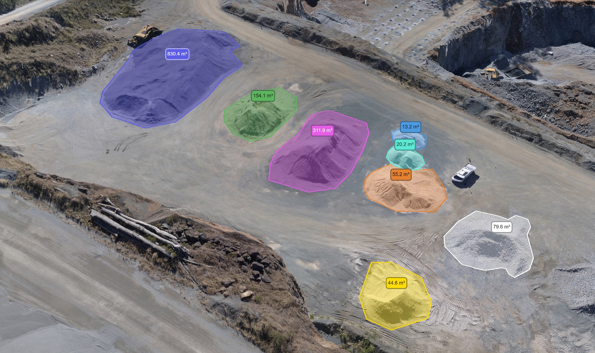
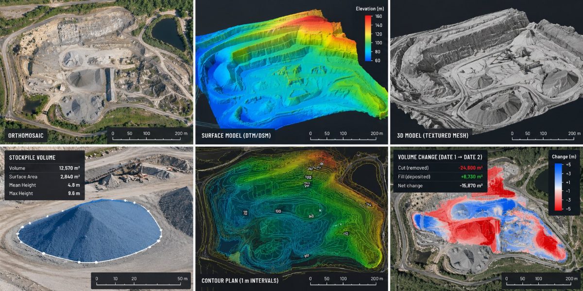
How much material is on site?Stockpile Volume SurveysMeasured stockpile volumes in cubic metres, with outlined piles and repeat measurements for stock reconciliation.From £650 + VATView service
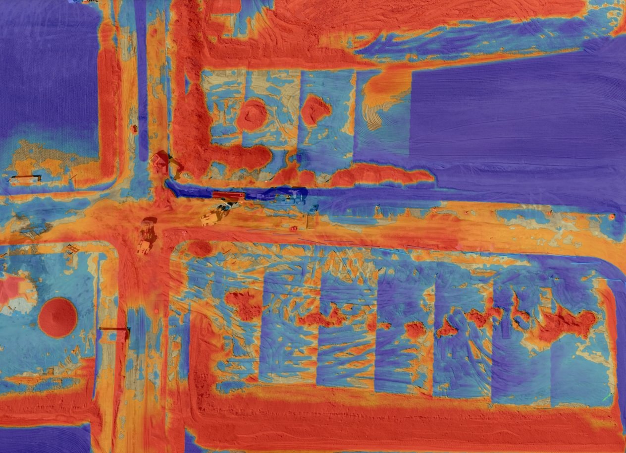
How much has been dug, and how much fill is still needed?Cut & Fill SurveysCut, fill and net volumes with heat maps, comparing surveyed ground with design levels or an earlier survey.From £950 + VATView service
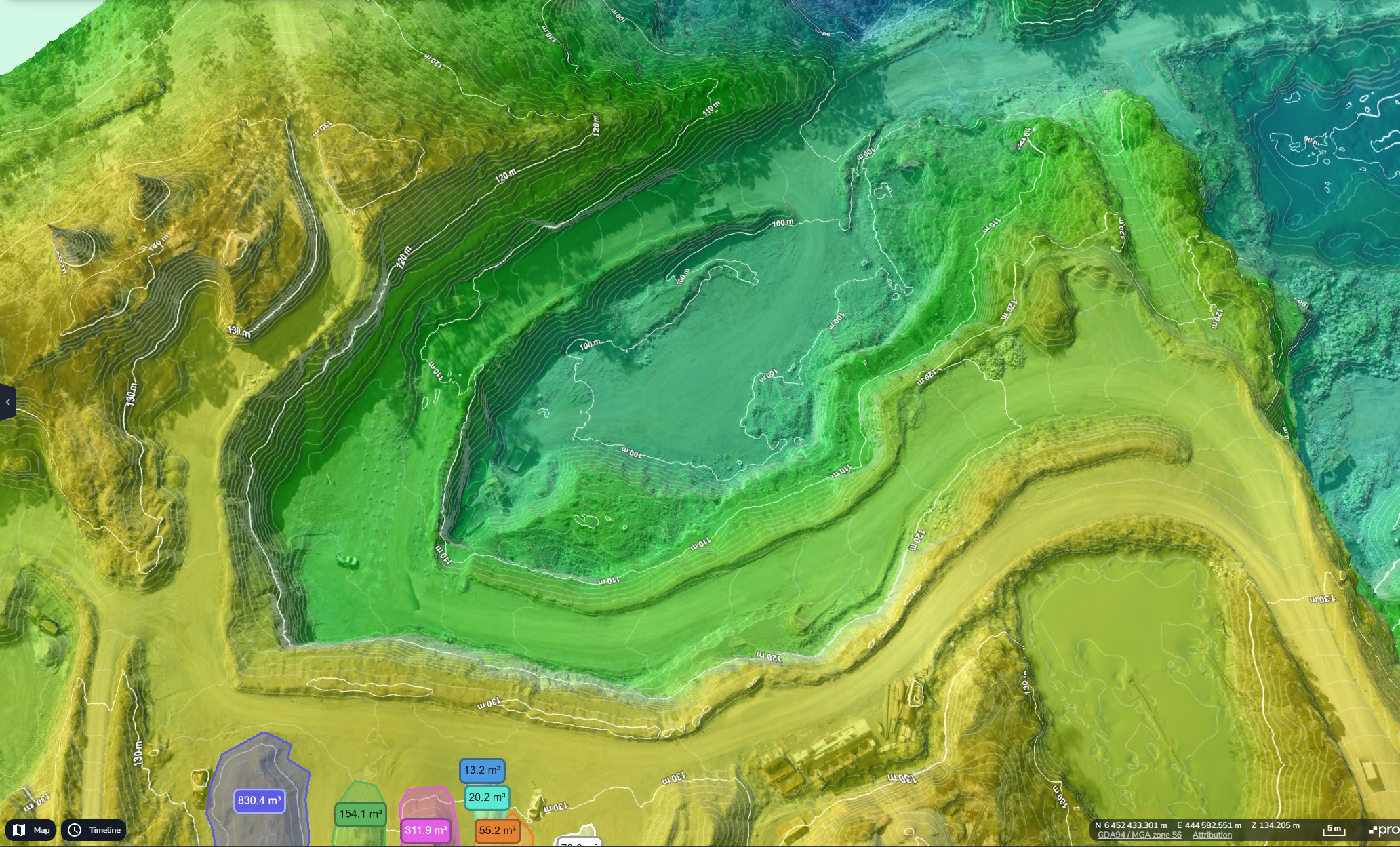
What are the existing ground levels?Topographical MappingTerrain and surface models, contours, spot levels and point clouds that show the shape and levels of your site.From £850 + VATView service
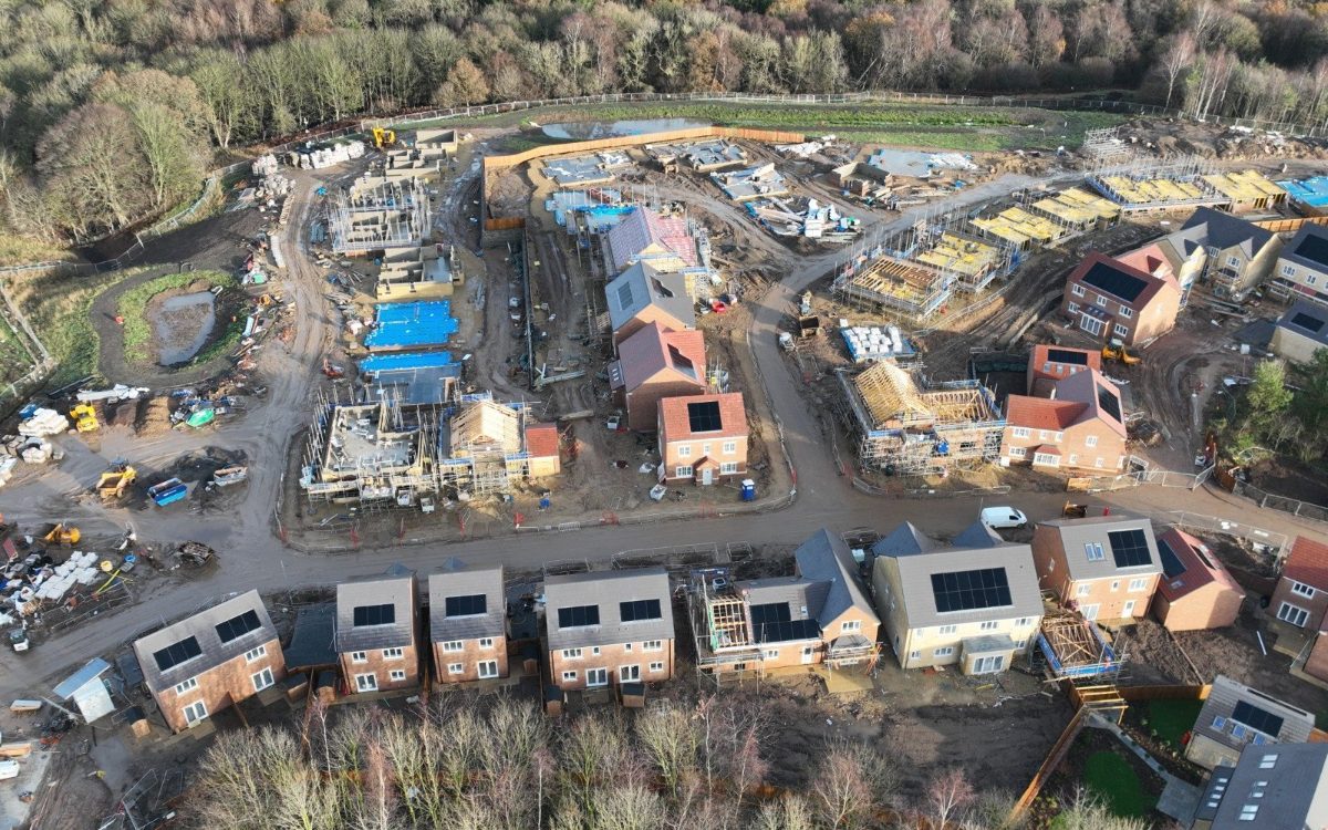
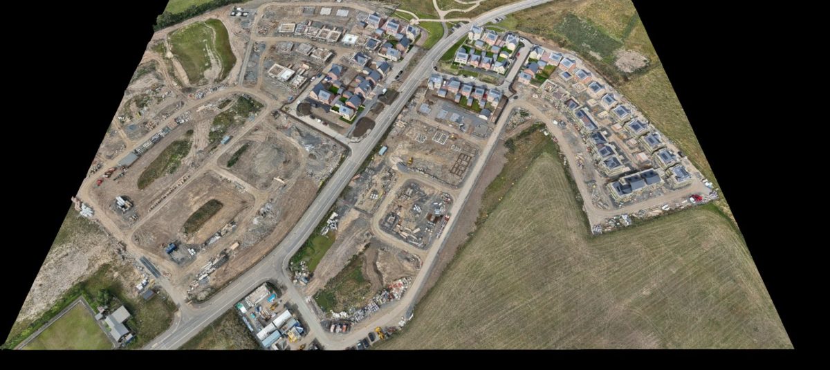
How has the site changed since the last visit?Construction Progress MonitoringRepeat aerial mapping and fixed-viewpoint photography that gives a dated, measurable record of the build.From £550 + VAT per visitView service
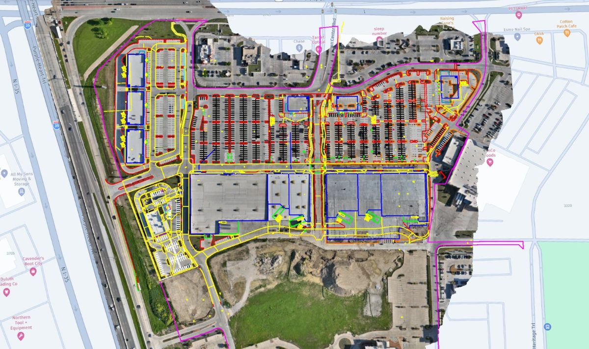
How does the site compare with the design?CAD Overlays & Design ComparisonYour CAD drawings laid over current aerial mapping, so the design and the real site can be compared.View service
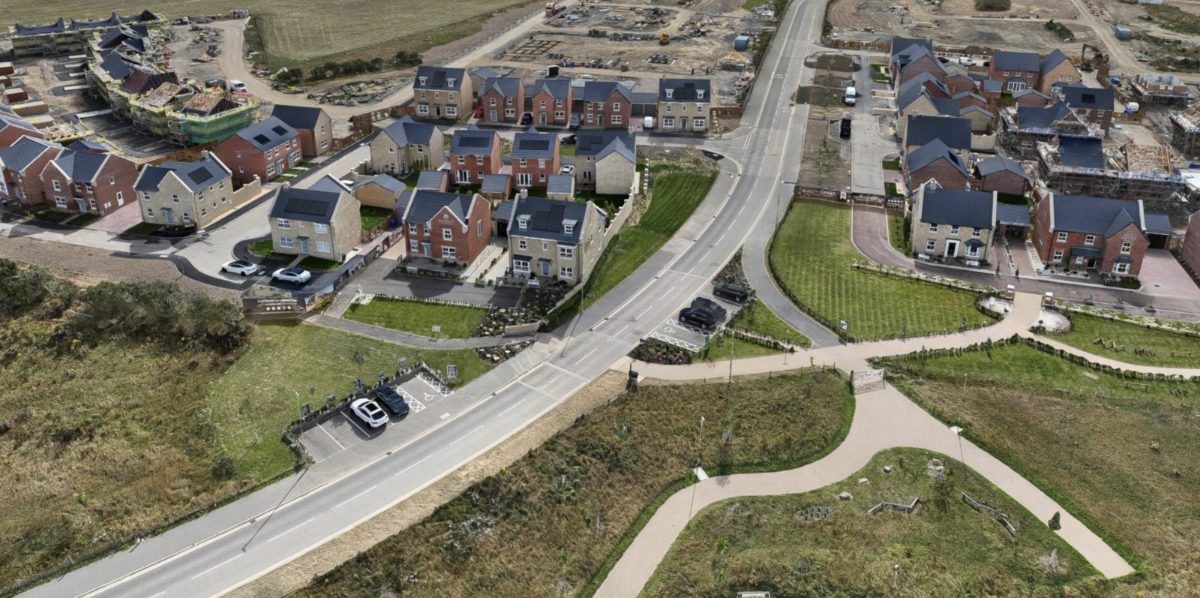
What was actually built, and where?As-Built SurveysA dated, measurable record of the finished site for handover, adoption and later questions.View service
How much material has moved since the last survey?Quarry & Landfill SurveysFaces, benches, stocks and void space measured from the air, with change between surveys.View service
Mapping & 3D Modelling
Measurable aerial maps, detailed 3D models and repeat monitoring of changing ground.
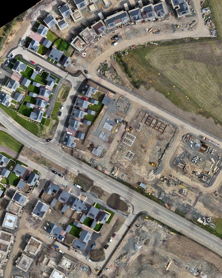
Can the whole site be recorded in one visit?Drone Mapping & OrthomosaicsDetailed, georeferenced aerial maps of your whole site that you can measure from and share.From £550 + VATView service
Can the team inspect it from any angle?3D Modelling & PhotogrammetryRealistic, measurable 3D models and point clouds of buildings, construction sites and structures.From £650 + VATView service
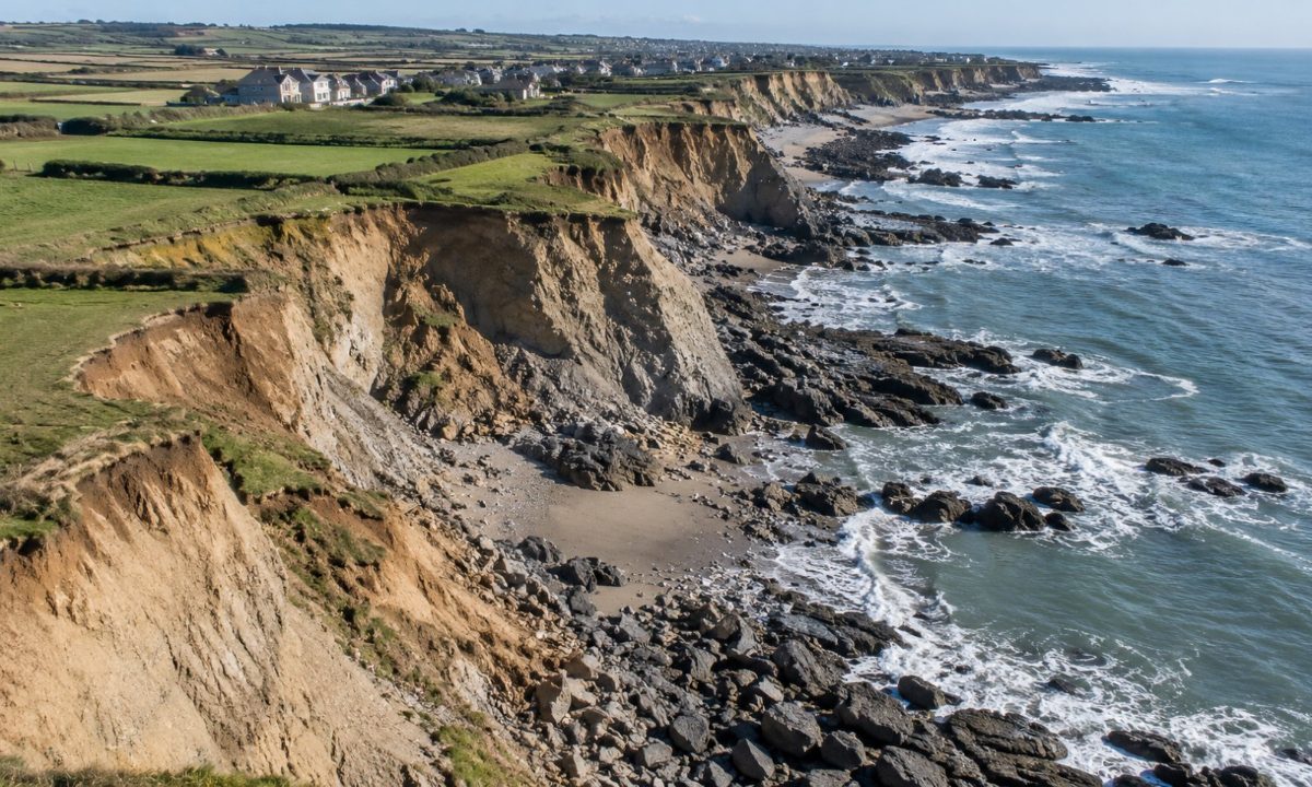
How is the coastline changing?Coastal Erosion MonitoringRepeat mapping and 3D surfaces of cliffs, dunes and shorelines, compared between dates to show change.View service
Buildings & Heritage
Close inspection and detailed records of roofs, elevations and historic fabric.
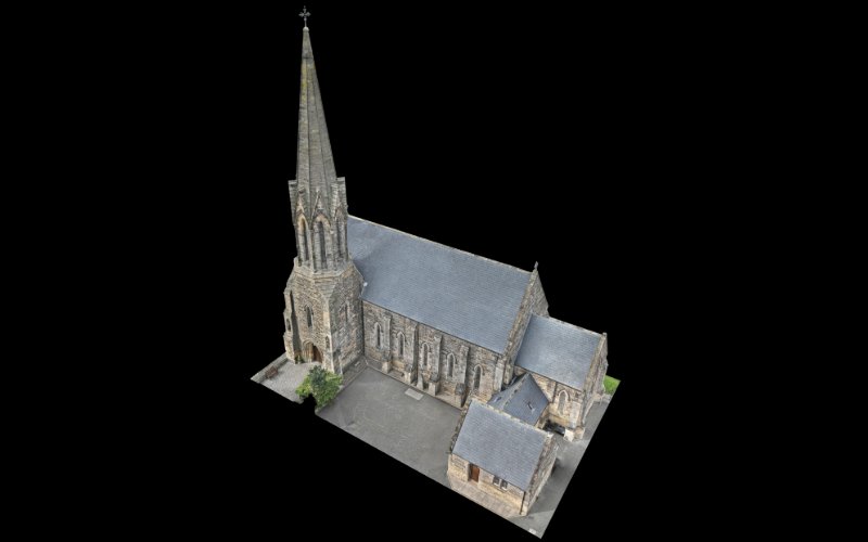
Heritage Building SurveysDetailed 3D models and photographic records of churches and historic buildings, for planning conservation work.From £400 + VATView service
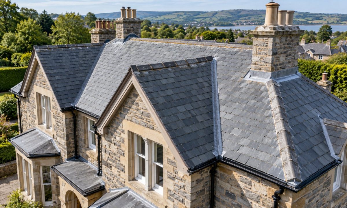
Roof & Building InspectionsClose-up imagery of roofs, facades, chimneys and gutters, captured before any scaffolding goes up.View service
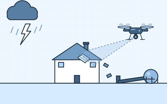
Storm Damage SurveysDated, close-up evidence of damage to roofs, structures and grounds for insurers and owners.View service
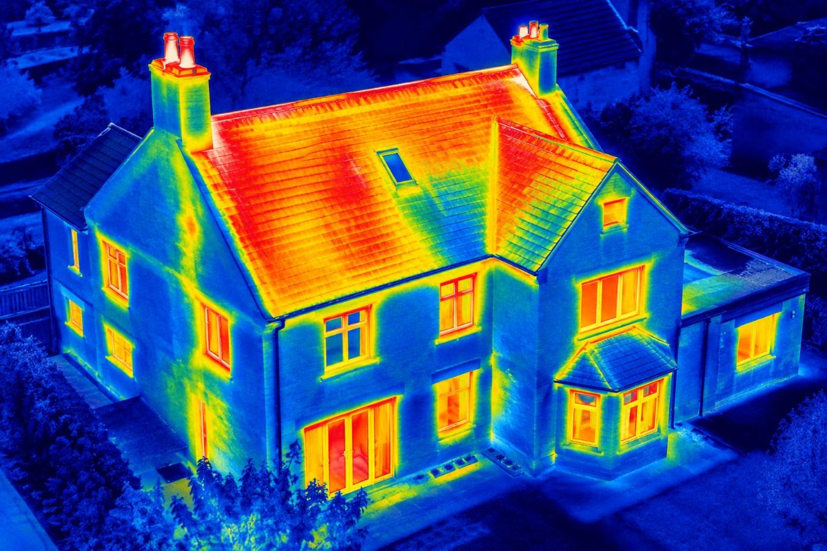
Thermal Building SurveysRadiometric thermal imaging of roofs and buildings, highlighting anomalies that may indicate heat loss, insulation defects or roof moisture.View service
Technical Inspections
Zoom and thermal inspection of solar arrays, electrical plant, masts and structures.
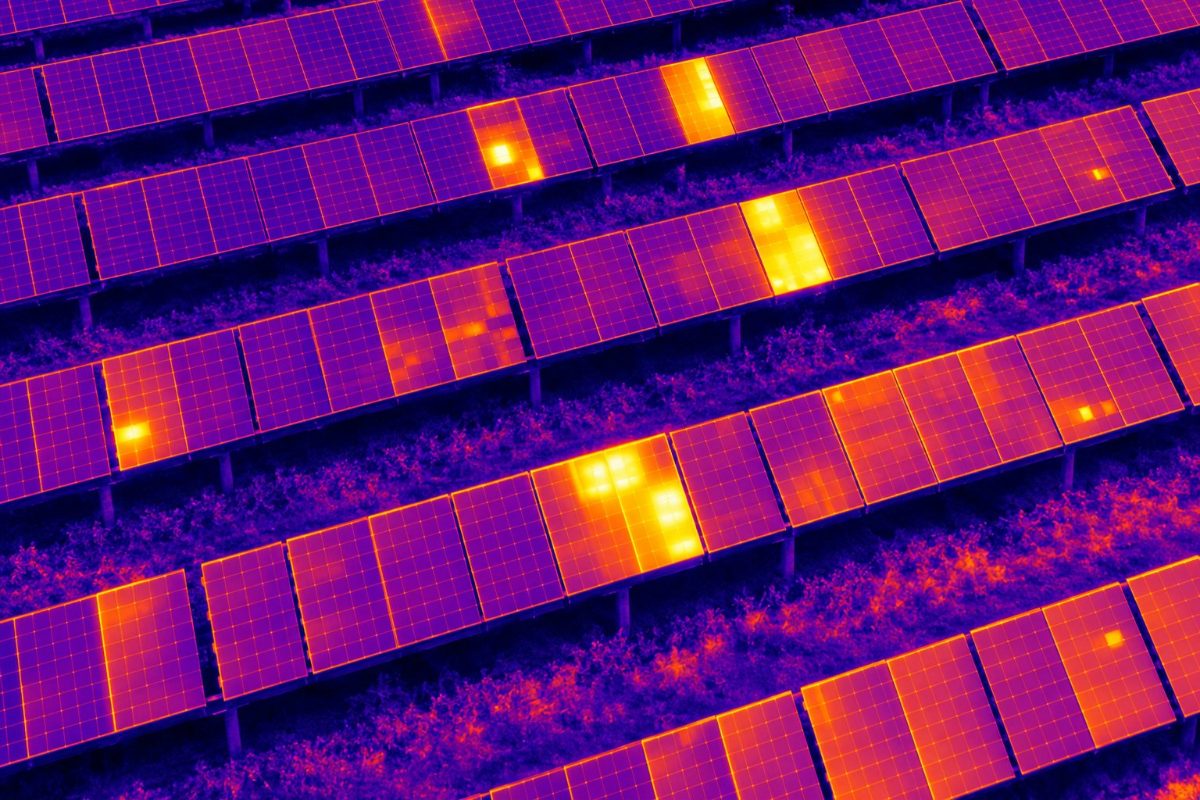
Solar Panel InspectionsThermal inspection of rooftop and ground-mount solar PV, locating anomalies that may indicate panel or electrical faults.View service
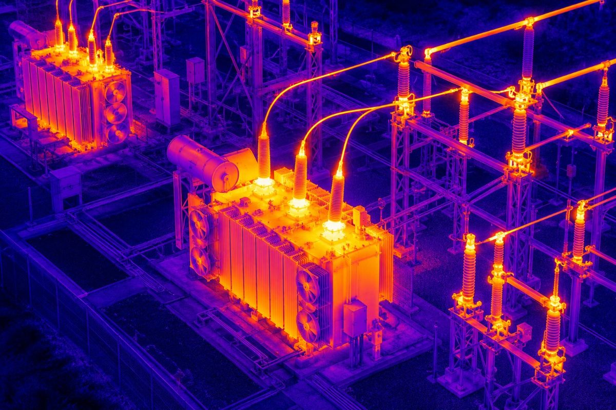
Electrical ThermographyThermal and zoom inspection of substations, overhead lines and plant exteriors, where safe and permitted.View service
Telecoms Mast InspectionsHigh-zoom imagery of antennas, mounts, feeders and fixings without a climb for the survey.View service
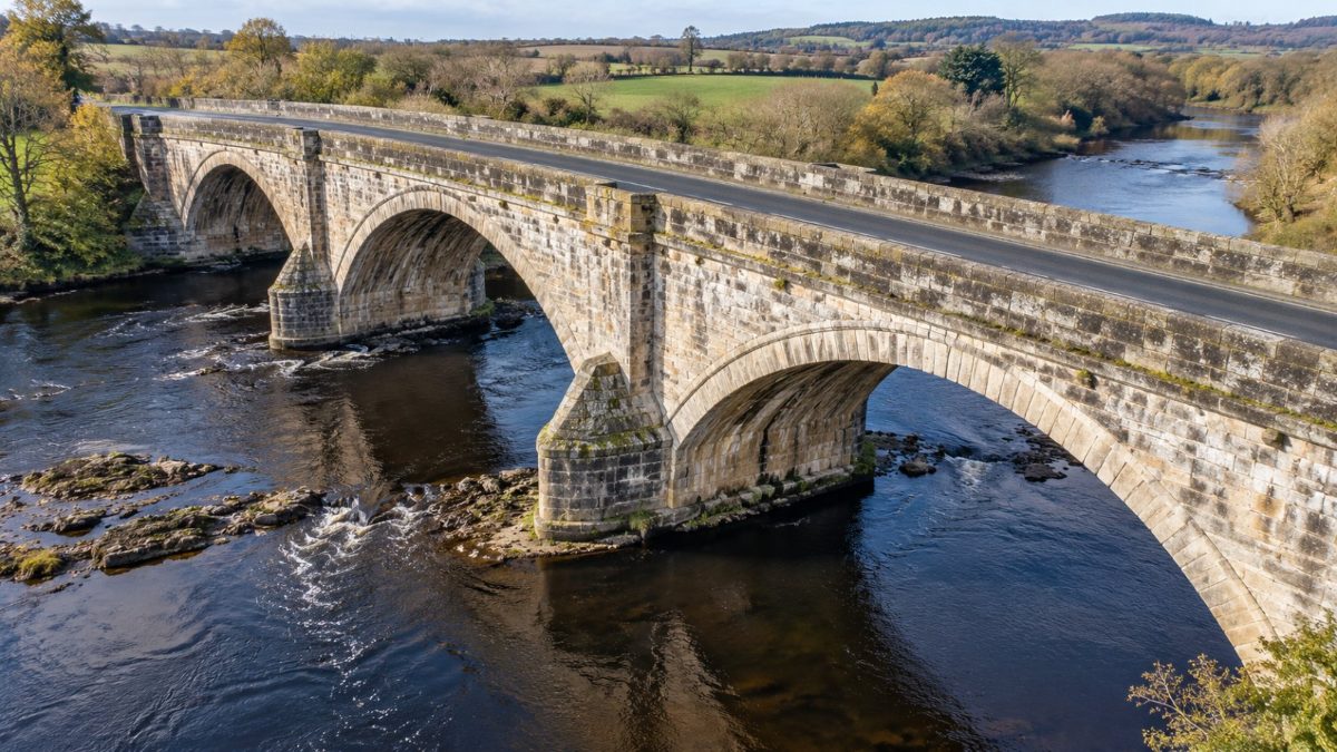
Bridge & Structure InspectionsClose visual and zoom inspection of bridges, chimneys and towers for engineers.View service
Indicative Starting Prices
Introductory prices for straightforward projects, to help you plan. Your quotation depends on the size and complexity of the site, travel, access, processing, ground control, reporting and the deliverables you need. VAT is additional.
| Service | Starting price |
|---|---|
| Stockpile volume surveys | From £650 + VAT |
| Cut and fill calculations | From £950 + VAT |
| Topographical surface mapping | From £850 + VAT |
| Construction progress mapping | From £550 + VAT per visit |
| Orthomosaic mapping | From £550 + VAT |
| General 3D photogrammetry modelling | From £650 + VAT |
| Heritage 3D modelling, basic exterior models | From £400 + VAT |
Regular surveys at agreed intervals or project milestones are priced at a preferential rate per visit, because planning and set-up are shared and the same capture and control methods are used each time. Larger churches, complex structures and detailed measured heritage outputs are quoted individually.