Storm damage and insurance surveys by drone in the North East
Dated, close-up evidence of damage, captured safely and soon after the event. A drone survey records roofs, chimneys, structures and grounds without anyone climbing on damaged buildings, giving insurers, loss adjusters and owners what they need to assess a claim.
Prefer to talk it through? Call 07970 393381.
What a storm damage survey involves
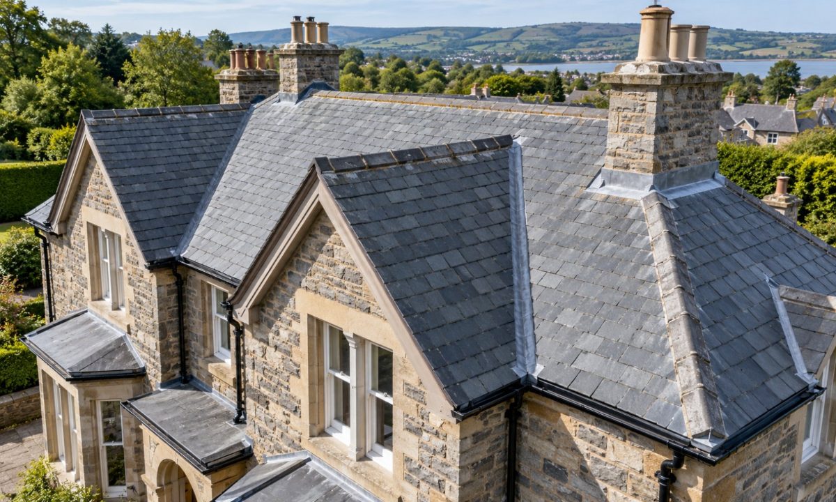
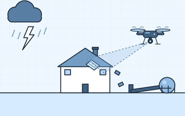
As soon as conditions are safe to fly, the drone captures overview and close-up images of the affected buildings and grounds: missing tiles, damaged ridges and chimneys, lifted sheets, fallen trees and flood extents. Every image keeps its date, time and position.
Damage is marked up in a report so loss adjusters and contractors can see what has happened and where. For larger estates or sites, an orthomosaic maps the whole area, making it easy to locate and measure damage.
What is recorded
- Missing or slipped tiles, slates and ridges
- Damaged chimneys, flashings and gutters
- Lifted or torn roof sheets and membranes
- Fallen trees, fences and walls
- Flood extents and debris across a site
What you receive
- Damage reportPDFAnnotated, dated images with each issue located
- Image setJPEGAll original images with date, time and position
- OrthomosaicGeoTIFFAn optional map of the whole site, for large areas
- 3D modelBrowser linkOptional, for measuring damaged areas
Who uses storm damage surveys
Insurers and loss adjusters
Fast, dated evidence to assess and settle claims.
Property owners and estates
A clear record of damage across buildings and grounds.
Housing associations and councils
Rapid assessment of damage across housing stock.
Roofing contractors
Close-up images to scope and price repairs.
How the work is done
- EnquireTell us the address, what has been damaged and who needs the evidence.
- PlanAirspace and site safety checked, and permissions arranged.
- FlyOverview and close-up passes as soon as it is safe.
- RecordImages dated, located and annotated.
- ReportDamage report and image set for the insurer or adjuster.
Evidence an insurer can use
Every photograph keeps its original metadata, and the report states when and how the survey was flown. Close-up zoom imagery shows the damage clearly, so adjusters and contractors can assess and price it without a separate access visit.
What affects the result
- How soon after the event it is safe to fly
- Wind and rain on the day
- Debris, tarpaulins or temporary repairs covering damage
- Permissions near neighbouring properties
Storm damage questions
How soon after a storm can you fly?
As soon as wind and rain have dropped to safe flying limits and the site is safe to work on. Get in touch to discuss timing.
Will my insurer accept drone images?
Dated, close-up drone images are clear evidence of damage. If you are unsure what your insurer needs, ask them first and the survey can be planned around it.
Can you survey several properties after the same storm?
Yes. Properties can be grouped and surveyed in a planned sequence.
Large portfolio enquiriesCan you record the condition before a storm?
Yes. A baseline roof survey gives a clear before picture if a claim is ever needed.
Roof surveys and building inspectionsRelated services
All services